Portland Hub

The seven districts

Portland splits into six official address sections, North, Northeast, Northwest, Southeast, Southwest and South, plus the neighborhoods east of I-205. Each has its own character, its own happy hours and its own events.

On the map

The districts on the City's own lines. Tap one for its guide; the live map has every neighborhood, rents and school boundaries.

Portland districts The seven districts of Portland on the City's boundaries, each linking to its guide; Milwaukie, Lake Oswego and Oregon City along the river; the airport marked in the northeast. Milwaukie: on the live mapMilwaukie Lake Oswego: on the live mapLake Oswego Oregon City: on the live mapOregon City North PortlandNorth Northeast Portland: on the live mapNortheast Northwest PortlandNorthwest Southeast PortlandSoutheast Southwest PortlandSouthwest South PortlandSouth East PortlandEast Portland International Airport (PDX): getting therePDX ✈

Each district

North Portland

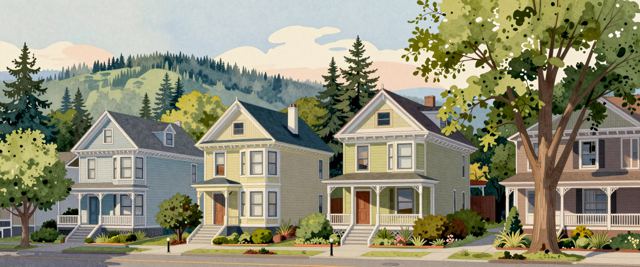
North Portland runs up the peninsula between the Willamette and the Columbia. St. Johns keeps its own small downtown beside Cathedral Park and the St. Johns Bridge; Kenton, Arbor Lodge and Overlook are tree-lined streets of early 1900s houses along the MAX Yellow Line, with the University of Portland on the bluff.

St. Johns · Kenton · Overlook
14 happy hours 19 events On the map north-portland.com

Northeast Portland

Northeast reaches from the Lloyd District and the Moda Center out to Cully and the airport. Alberta Street is known for its galleries, restaurants and food carts; Irvington's historic district holds Victorian and Craftsman houses, and Hollywood has the Hollywood Theatre and a MAX stop on three lines.

Alberta · Hollywood · Irvington

28 happy hours 38 events On the map

Northwest Portland

Northwest holds the Pearl District's converted warehouses and lofts, the shops and Victorian houses of Nob Hill along NW 23rd, and Slabtown's newer apartments. Forest Park, one of the largest urban forests in the country, rises behind it, and the Portland Streetcar ties it to downtown.

Pearl · Nob Hill · Forest Park

24 happy hours 29 events On the map nw-portland.com

Southeast Portland

Southeast is the city's largest residential quadrant, from the inner eastside's warehouses and food carts to the shops and restaurants of Hawthorne, Division and Belmont, Sellwood's antique stores and Mt. Tabor, a park on an old volcanic cone. Craftsman houses and bungalows fill the side streets.

Hawthorne · Sellwood · Montavilla

33 happy hours 90 events On the map se-portland.com

Southwest Portland

Southwest holds downtown: Pioneer Courthouse Square, Portland State University, the South Park Blocks and Tom McCall Waterfront Park. West of downtown the hills rise into Hillsdale and Multnomah Village, with winding streets and wooded lots, and Washington Park and the Oregon Zoo sit above the city.

Downtown · Hillsdale · Multnomah

25 happy hours 19 events On the map sw-portland.com

South Portland

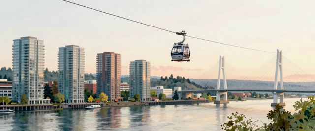
South Portland is the narrow strip along the Willamette south of downtown and the city's newest address section. South Waterfront's towers stand beside OHSU's riverside campus, linked by the aerial tram to the hospital on Marquam Hill; Lair Hill and Johns Landing keep older houses, and Tilikum Crossing carries MAX, buses, bikes and walkers across the river.

South Waterfront · Lair Hill

2 happy hours Events On the map south-portland.com

East Portland

East Portland covers the neighborhoods east of I-205, Lents, Powellhurst-Gilbert, Hazelwood and Parkrose among them, most of them annexed into the city in the 1980s and 1990s. Larger lots and some of the city's lower rents; Gateway Transit Center links three MAX lines, and the Springwater Corridor trail follows Johnson Creek.

Lents · Powellhurst · Hazelwood

3 happy hours 4 events On the map east-portland.com

Outside the city. Lake Oswego, Oregon City, Milwaukie, Oak Grove, West Linn and Beaverton are on the front page and the housing map.